
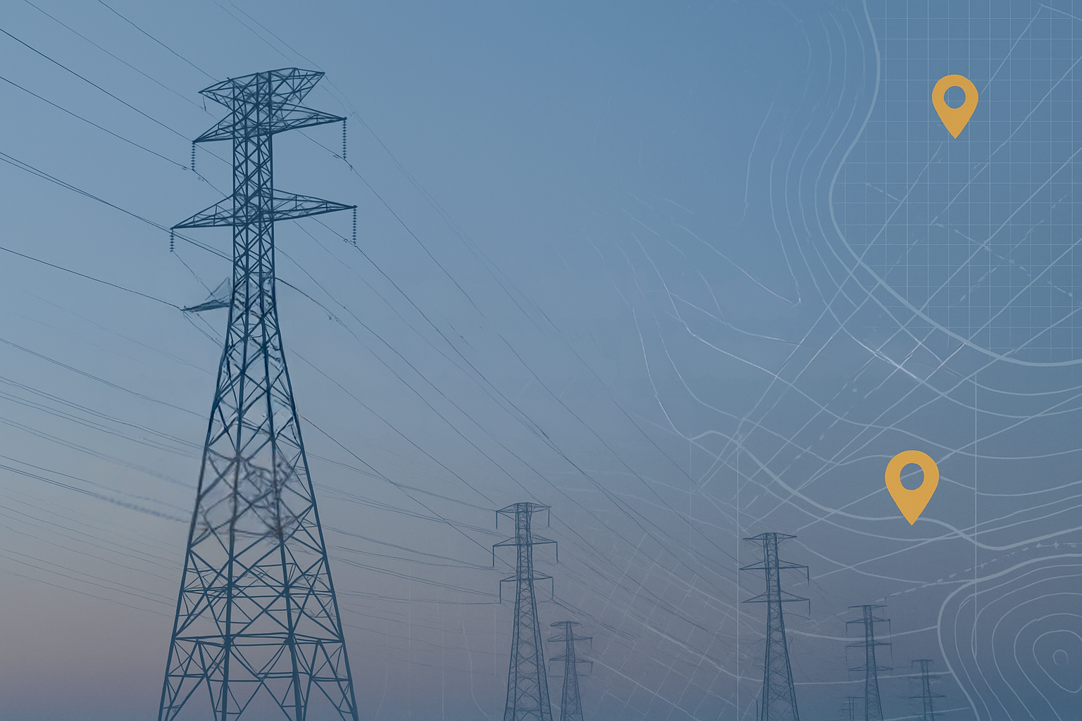
Mapping Pathways across digital and economic divides
Trusted partner for modernizing utilities, geospatial tech, and workforce development
EDGE Geospatial is an experienced geospatial solutions and workforce development organization helping utilities modernize their infrastructure, strengthen operational readiness, and build sustainable technical talent pipelines.
With 30+ years of leadership experience and more than 300 GIS and infrastructure-related projects completed, EDGE combines deep geospatial expertise with community-aligned workforce strategies that address two major challenges facing today’s utilities:
Modernizing data, mapping, and operational systems, and
Developing the skilled workforce required to support the grid of the future.
We work at the intersection of technology, talent, and community, helping utilities strengthen their operations while expanding opportunity in the regions they serve.
Mission

To strengthen utility infrastructure and community opportunity by delivering geospatial solutions, technical training, and workforce pathways that prepare people for the critical roles supporting modern utility systems.
This mission clearly communicates:
You support the utility sector
You deliver geospatial and technical solutions
You build workforce pipelines
You create opportunity for communities
Vision
A future where modern utility systems are powered by precise geospatial intelligence and a strong, community-built workforce capable of supporting the next generation of infrastructure.
We envision utility providers operating with accurate, real-time data; resilient digital systems; and a prepared talent pipeline that reflects the needs of a rapidly evolving energy and infrastructure landscape.
EDGE works toward a world where utilities and communities grow stronger together—where data quality, technological innovation, and local workforce readiness are aligned to create safe, reliable, and forward-looking infrastructure for generations to come.
